|
|
 RTOPO
-
Version
3.1
RTOPO
-
Version
3.1
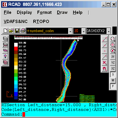
Simple, powerful and inexpensive CAD software for
surveying. You can do triangulation, isolines, color-
filled contour maps, sections, intersections, volume
and much more. You can process hundreds of thousands
of points or triangles, even on less powerful PCs.
Through its own CAD system (called RCAD), specialized
for 3D and for a large number of entities, you can:
-load and draw a file of points having the format:
Number X Y Z Code; the drawing is made by
POINT,3DPOLY,SPLINE or BLOCK entities, according to a
modifiable library of codes
-edit interactively the points; you can modify the
coordinates, the code and the position (in 3DPOLY or
SPLINE)
-triangulate the points on a convex hull or between an
external contour and possibly more interior contours
-do isolines (contour lines) and color-filled contour
map
-do cross sections and longitudinal profile
-do the projection of several PLine entities over a
triangulation
|