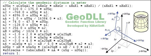

GeoDLL
Version 19.01
Shareware
$620.00
4 downloads
GeoDLL is a Geodetic Development Kit / Geodetic
Function Library with worldwide 2D and 3D Coordinate
Transformation, Datum Shift, Meridian Convergence and
Extra Parameter with highest accuracy. Furthermore:
Helmert and Molodensky Parameters, NTv2, HARN,
INSPIRE, EPSG, Digital Elevation Model (DEM), distance
and Time Zone calculations and much more. GeoDLL for
geodetic and GIS development is available as 32Bit and
64Bit DLL and as C++ source code.
GeoDLL supports the development of geodetic software
on various platforms by providing geodetic functions.
Thus, geodetic functions of GeoDLL can be linked to
programs written in C, C++, C#, Java, Pascal, Delphi,
MS-Access, Visual Basic, Visual Objects or which are
written in other programming languages.
The most important application of GeoDLL is to include
professional Coordinate Transformations in own
programs. These Coordinate and Reference Systems are
supported: The current and historical Systems of all
countries of Europe - The European ETRS89 systems
forced by INSPIRE - The US and Canadian NAD, NTv2,
Program details
Publisher
Fred KilletE-mail
Contact the publisherPlatforms
Win7 x32<br>Win7 x64<br>Windows 10<br>WinServer<br>Windows XP<br>Windows 2000<br>WinVista<br>WinVista x64<br>WinOtherFile size
5263 KBFile date
12/31/2018License
SharewareExpiration info
GEODLL functions are limited to a count of geodetic calculations after each program startInstallation
Install & UninstallRecord updated
12/31/2018


