|
|
 Eye4Software Hydromagic
-
Version
7.0.15.929
Eye4Software Hydromagic
-
Version
7.0.15.929
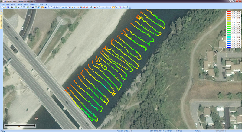
Eye4Software Hydromagic is hydrographic survey
software for Windows. It can be used to generare depth
maps using a GPS or RTK receiver and an echosounder or
fishfinder.
After recording the sounding, you can generate DTM's
(Digital Terrain Models), depth contours, 3D views and
cross-sections.
It offers various methods of calculating volumes of
bassins, ponds, river sections and lakes.
The software is capable of reading and writing most
popular CAD, GIS and nautical chart formats,
including: GeoTIFF, Microstation DGN, ARC/INFO,
MapInfo MIF/MID, AutoCad DXF files, IHO S57/S63
Electronic Natutical Charts, Google Earth KML/KMZ
files and ESRI shapefiles.
A wide range of map projections is build in. More then
5000 map projections are built in. In addition, NTv2,
|